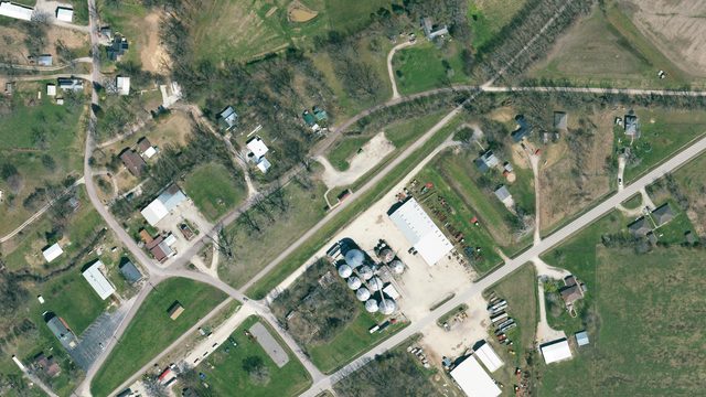
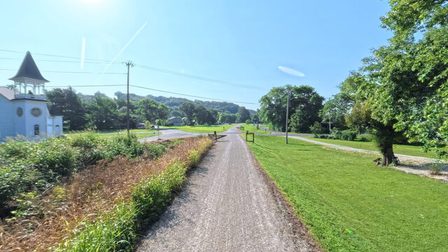
Trail stop / Mile marker 143.2 / Captured in 360°
North Jefferson
Jefferson City over the river bridge
143.2
railroad mile
east to west
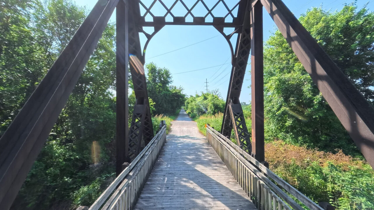
Iron truss bridge outside North Jefferson. Rendered from the Terrain360 capture, July 2026. The tour opens right here at scene 1146.
Open on Terrain360 (opens in a new tab)The landmarks, scene by scene
Each scene drops you into the tour right there.
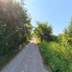
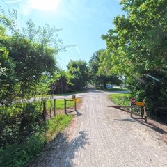
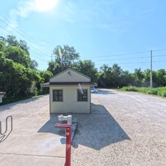
At the trailhead
Seasonal water runs April 1 to October 31 unless the note says otherwise.Water
Yes
Restroom
Yes
Camping
None
Notes
East end of the captured 360 segment
By train
Amtrak’s Missouri River Runner stops at Jefferson City, MO. Cross the US 54/63 river bridge to North Jefferson, about 2.5 miles by road and greenway. Schedules
Use this stop
Plan a ride from here See it on the map Enter the 360° hereConditions regrade every 30 minutes. Check the surface before you drive out.
Picks from Visit Jefferson City
Across the bridge in Jefferson City
23 local spots, chosen by Visit Jefferson City.Getting there from the trail
Jefferson City proper is across the Missouri River. From the trailhead, take the Katy Trail Spur to 4th Street, then Cottonwood Street to the walking and biking lane on the Missouri River bridge. It crosses apart from the car lanes and lands you downtown at the Clay Street Trailhead Plaza. Visit Jefferson City's route
Food
Coffee
Bars & breweries
Bike shops
Chosen by Visit Jefferson City; each name opens its listing there. Addresses, hours and photos from Google Maps.
Eat, stay, and sip nearby
Food, cafes and bike shops within a mile; camping, wineries and breweries within about three.From Google Places. Powered by Google.
Nothing listed within range of this trailhead. The next town over usually has you covered; check the neighbouring stops below.